Saturday, June 9, 2012

Special Report: Collecting Names


If you’re a Cederberg fan and you’ve never explored the Wupperthal “buiteposte”, it’s time you did. Peter Hart’s great “Cederberg Heritage Route” traverses a part of this territory, but you don’t need a guided tour to do your own exploring in this lovely “other universe” of thatched cottages, donkey carts and very friendly people. I’ve put up a fuller description with pictures and contact names and numbers on http://mapsforafrika.blogspot.com .
We spent most of a week based at Heuningvlei, interviewing locals and enjoying drives around their beautiful countryside, collecting names for the map. We took as our starting point all the place names mentioned in M. I. Murray’s “Witwater se Mense”. That book is another “must” if you consider yourself a real Cederberg enthusiast: it’s a fascinating account of life in the buiteposte in the 1930s/1940s. It rings with authenticity; it’s a sort of South African “Little House on the Prairie” and it’s a singular tragedy that it has never been translated into English and is not better known. Published by Tafelberg, it’s apparently long out of print but is still in most public libraries. Come on, Tafelberg – skrik wakker, julle.
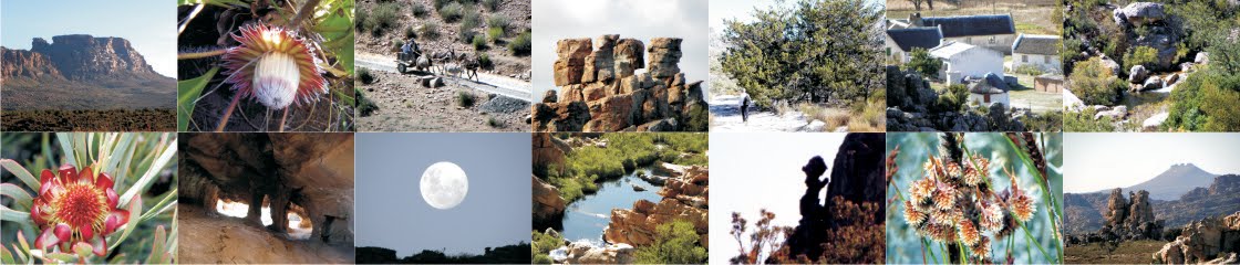
Heuningvlei seen from the Nougang – a new name on the map!
Back to the place names. Hennie van der Westhuizen and Isak Koopman met us on a frosty morning outside the Heuningvlei Backpackers Lodge: there’s more about this converted school in the blog mentioned above. Hennie and Isak studied the list of names that I’d culled from the book with many a shake of their heads; then suddenly recognition dawned. “Hierdie plekke,” Isak muttered, “is almal naby Witwater!”
Collecting names at Witwater: Kerneels Filander advises
I have to say that for a mapmaker with an interest in social history it was pretty exciting to find that, three-quarters of a century later, residents of Witwater and Heuningvlei still meet on sunny weekend mornings to greet and chew the fat at Sitkoppie, a ridge of flat and comfortable rocks halfway between the two hamlets. In the end Isak located more than 80% of the “Witwater se Mense” names, and those he didn’t know were provided by Kerneels Filander of Witwater. We moved down the valley to Brugkraal, Grasvlei and Kleinvlei, pencilling in Roelant se Hoog, Lêkop, Giel se Knik, Nooiensgat, Mooiweerspoort and more than sixty other names that are not on any maps. Kellie of Grasvlei helped, and a man whose name I unfortunately missed, at Kleinvlei; on the way home via the Oupad we met Barry Ockhuis at Heiveldt, and he gave us Huishout se Gang [and pointed out that essential final ‘t’ in ‘Heiveldt’].
Heiveldt
Sadly, no one knew where Raadhouklip or Kerniekelsfontein once were – any offers? A name that mystified me for a while was “Senrie se Kop”, until Hennie van der Westhuizen spelled it out for me – s-c-e-n-e-r-y .
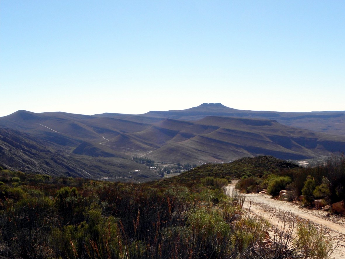
The Citadel, seen from the Kerskop Pass ... but all the locals call it Tandjiesberg.
Which name is more valid or ‘authentic’?
The next day Joey Ockhuis helped us fill in names on the Noodpad, the popular donkey-cart route between Heuningvlei and the Pakhuis Pass. We were a bit mystified by names like Swartgat [a steep hill] and Potlood se Bank [a stony, level stretch] until it dawned on us that ‘Swartgat’ and ‘Potlood’ were the names of donkeys that had doubtless enjoyed distinguishing asinine adventures at these places.
On the Noodpad Donkey Trail:
Top Left: Gert Theron driving up to Môrehoog;
Top Right: Joey Ockhuis inspanning asses
Bottom Left: Climbing Swartgat;
Bottom Right: Cruising Potlood se Bank
Joey also helped with local names for the road between Pakhuis and Wupperthal; we later found that everyone in the Agter-Pakhuis knows where Onderbaadjie se Draai is – so why on earth is it not on any existing maps [including mine]?
Die Hang: cottage on the Wupperthal road that has never been named on any map
We finished with a trip up the Kerskop Pass to visit the extraordinary Ereboog at Eselbank
Part of Laurie se Hel, the nightmarish slopes of Sneeukop, behind Eselbank. It’s shown in quite the wrong place on all existing maps ...
        Eselbank is less isolated than it once was, thanks to some improvement of the road from Matjiesrivier, but it’s somehow a less apparently-carefree place than many of the other buiteposte. If you’ve ever wondered where Cederberg names like Filander se Werf, Muller se Water, Asjas se Kloof, etc etc come from ... well, those were the names of the farmers forcibly evicted from the Cederberg [without any compensation] by the Cape Colonial Government in 1896. Many of them were resettled at Eselbank; their descendants are less than happy that the 1994 Land Restitution process set an historical cut-off date of 1913 for claims. For the Eselbank families that was seventeen years too late ...
Think about that next time you’re in the ‘untouched wilderness’, and you pick up a rusty piece of an old plough at Grootlandsvlakte, or a piece of blue bottle-glass at Crystal Pool ... our beloved country is, for sure, a very complex place, with many untold stories yet to get out there.
Sowaar.


Kaartman, June 2012

No comments:

Post a Comment

Any comments that may help make our proposed map as good as it gets are very welcome

Note: Only a member of this blog may post a comment.